
Our Equipment
At CSL Surveys, we are committed to staying at the forefront of technological advancements. By embracing the latest innovations, we ensure the delivery of accurate and dependable surveys for our clients.
Definitive
Providing clear and reliable results is our mission.
Extensive
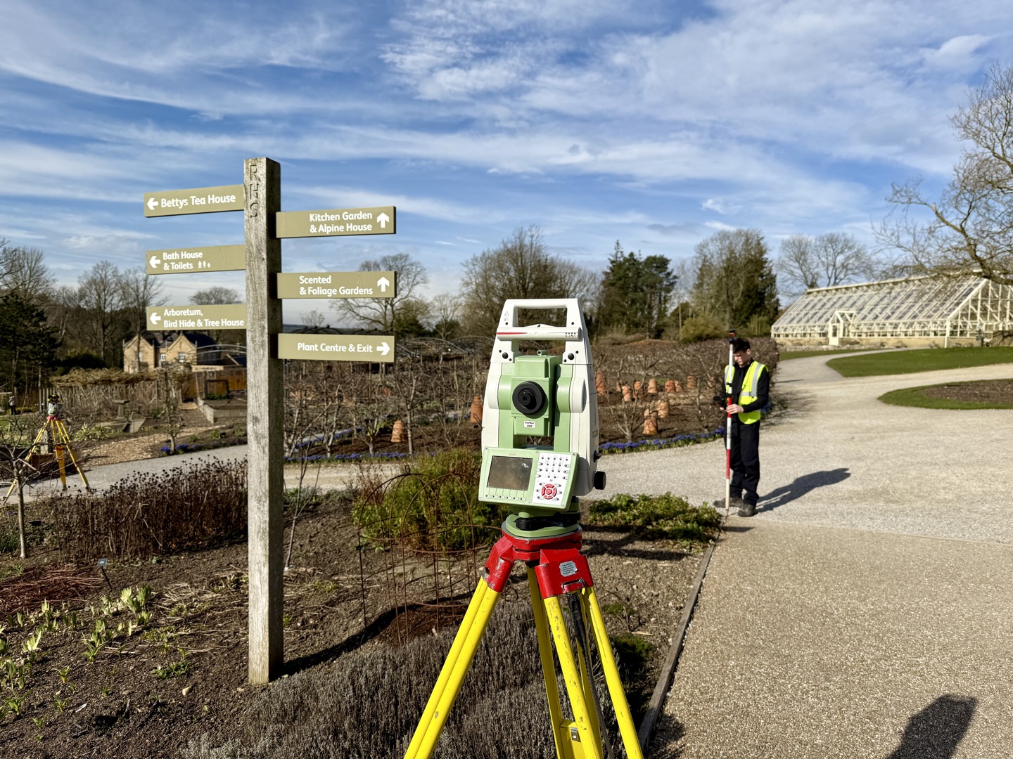
Using the latest surveying technology enables us to capture a high level of detail.
Accurate
All of our surveyors are committed to providing accurate information.
Quality
We pride ourselves on the presentation of our work.
Facilities
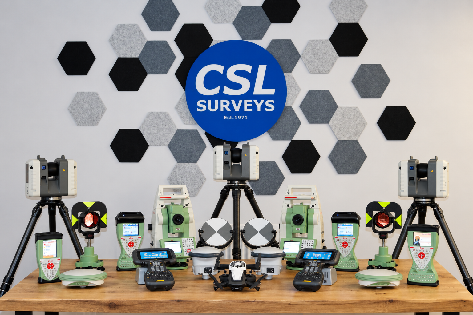
We currently carry a range of equipment and software including the following:
- Leica RTC360 Laser Scanners
- Leica robotic total stations
- Leica GPS Kit
- AutoCAD for CAD work
- Revit for BIM modelling
- N4CE software processing packages for producing 2D or 3D data for CAD
- Leica Cyclone for point cloud processing
- Promap access to provide Ordnance Survey digital data for off-site details
- Radiodetection RD8200
- Mala Core (Radar)
- Spectra Precision Ranger 5 (GPS)
- Vivax V6 (CCTV Camera)
Quality Assurance
We maintain a rigorous QA system to ensure the accuracy and quality of all survey drawings. To guarantee the precision of our equipment, survey instruments undergo annual servicing and calibration by approved contractors from the instrument manufacturers. Calibration certificates are retained for reference.
Captured data is meticulously verified, wherever possible, through closed loop traverses conducted on-site. For large traverses, we adhere to a minimum closure tolerance of 1 in 20,000 to maintain exceptional accuracy.
Before final delivery, all CAD drawings are thoroughly reviewed by a senior member of the survey team, ensuring they meet the highest standards.
Testimonials
Contact Us For A Free Quotation
At CSL SURVEYS, we believe in providing a customised service to meet clients needs. Get in touch to discuss yours today.