
Architectural Site Survey Leeds
An architectural site survey in Leeds records your site and its buildings in one coordinated survey – levels, boundaries, floor plans and elevations – so your architect can start designing straight away.
Definitive
Providing clear and reliable results is our mission.
Extensive
Using the latest surveying technology enables us to capture a high level of detail.
Accurate
All of our surveyors are committed to providing accurate information.
Quality
We pride ourselves on the presentation of our work.
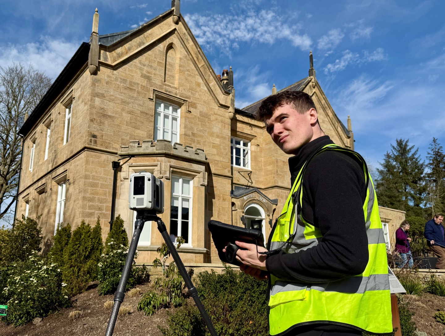
Your Architectural Site Survey in Leeds
Most architectural projects need information about both the land and the buildings on it. An architectural site survey in Leeds brings the two together: a topographical survey of the plot and a measured survey of the existing buildings, captured at the same time and tied to the same survey control so that everything fits.
A typical survey includes:
- Site levels, contours, boundaries, trees and drainage covers
- Floor plans, elevations and sections of existing buildings
- Neighbouring building outlines, windows and ridge heights where relevant to planning
- Optional utility survey, point cloud or Revit model
Drawings are supplied in AutoCAD, with Revit models available for BIM projects.
Built Around Your Brief
We agree the scope with your architect before we visit, so the survey covers exactly what the design needs – no more, no less. That might mean recording neighbouring windows and ridge heights for a rear extension in Roundhay, or full elevations and levels for a new-build scheme in the city centre.
Architects such as Dormer & Co. Chartered Architects have relied on our surveys for more than 25 years. You can see examples of combined site and building surveys in our case studies, including Kala Sangam Arts Centre.
For more detail on each part of the survey, see our topographical surveys and measured building surveys in Leeds.

Testimonials

FAQs
What is the difference between an architectural site survey and a topographical survey?
A topographical survey records the land and external features. An architectural site survey adds a measured survey of the buildings themselves – floor plans, elevations and sections – so the architect has everything in one coordinated set of drawings.
Can you record neighbouring properties?
Yes, from outside the boundary. We can record neighbouring building outlines, windows, eaves and ridge heights, which are often needed to assess overlooking and daylight for planning.
What format will the drawings be in?
AutoCAD as standard, tied to Ordnance Survey grid and datum, with Revit models and point clouds available on request.
How do I get a quote?
Send us the site address, a brief description of the project and what your architect needs, and we will provide a free quotation.
Contact Us For A Free Quotation
At CSL SURVEYS, we believe in providing a customised service to meet clients needs. Get in touch to discuss yours today.