Utility Surveys Leeds
We carry out utility surveys in Leeds to PAS 128, locating and mapping buried services so you can dig, design and build with confidence. Established in 1971.
Definitive
Providing clear and reliable results is our mission.
Extensive
Using the latest surveying technology enables us to capture a high level of detail.
Accurate
All of our surveyors are committed to providing accurate information.
Quality
We pride ourselves on the presentation of our work.
Utility Surveys in Leeds Explained
A utility survey locates and maps the services buried beneath a site: water mains, gas pipes, electricity and telecoms cables, fibre, and foul and surface water drainage. Knowing exactly where they run lets designers avoid clashes and lets contractors excavate safely, without strikes, delays or costly redesigns.
All our utility surveys in Leeds follow PAS 128, the British specification for underground utility detection. We combine desktop records with on-site detection using Radiodetection RD8200 electromagnetic locators and MALA ground penetrating radar, lift and inspect drainage covers, and fix every detected service to the site survey with Leica GPS and total stations.
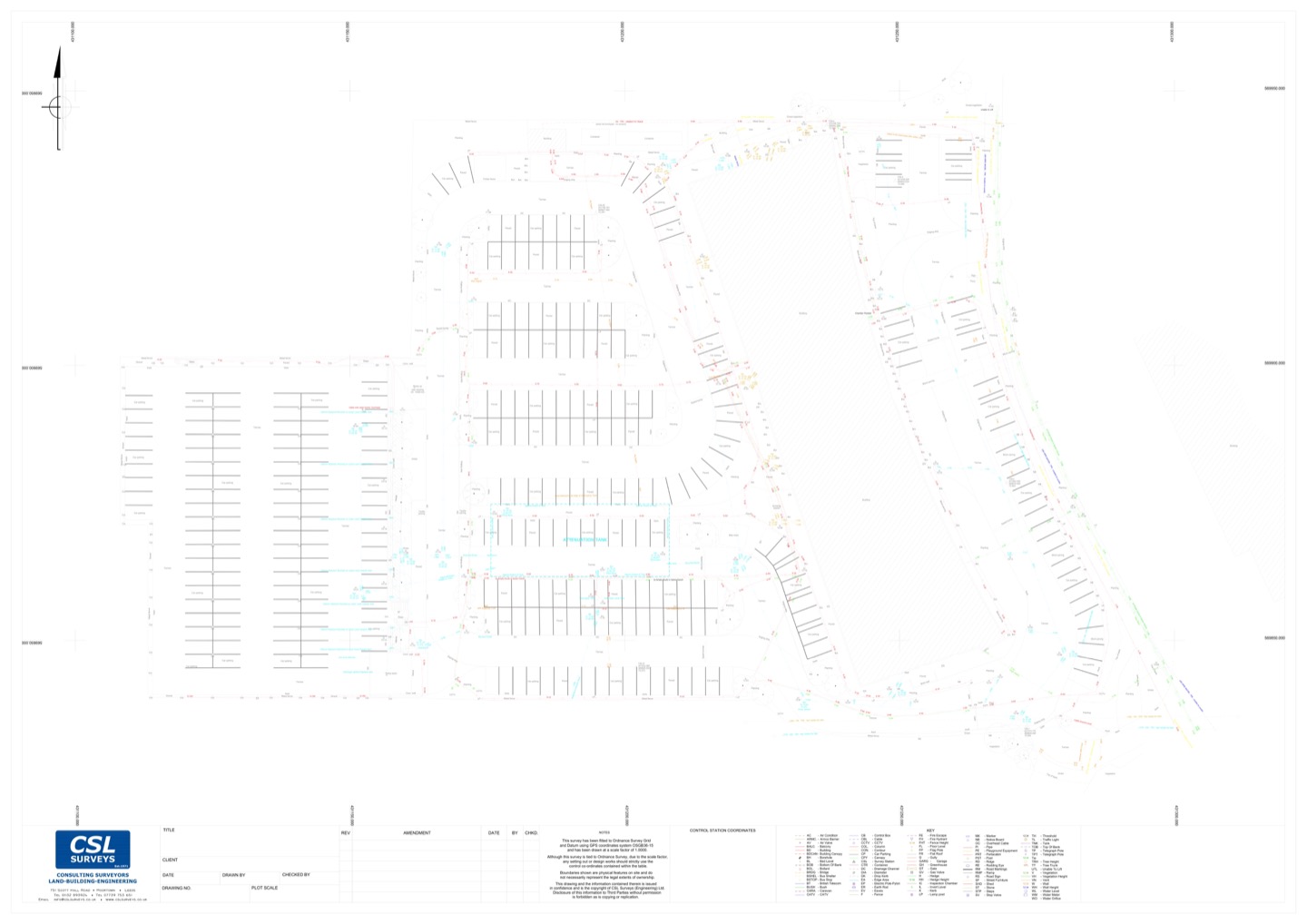
You receive a clear CAD drawing showing each service, its type and approximate depth, with the survey category and confidence level recorded. The results can be combined with a topographical survey into a single drawing.
Utility Surveys Across Leeds
Leeds city centre and the regeneration areas south of the river carry some of the most congested underground networks in Yorkshire, where generations of services sit on top of one another and records are often incomplete. In the suburbs and on greenfield edges such as Garforth, Wetherby and Otley, the challenge is usually unrecorded private supplies and drainage.
We recently carried out a combined utility and topographical survey of a public park while it remained open to the public, recording buried services and above-ground features with minimal disruption. Read the case study.
Working further afield? We also cover utility surveys in Bradford and utility surveys in Wakefield, and offer CCTV drainage surveys where drainage condition matters as much as location.

Testimonials

FAQs
What types of utilities can you detect?
Water, gas, electricity, telecoms and fibre, street lighting, and foul and surface water drainage. Metallic services and cables carrying current are traced with electromagnetic locators; plastic pipes and other non-metallic services are searched for with ground penetrating radar.
What is PAS 128?
PAS 128 is the British specification for underground utility detection, verification and location. It sets out survey types and quality levels so that you know how each service was located and how much confidence can be placed in its position.
When should I commission a utility survey?
As early as possible – ideally at feasibility or design stage, before drawings are fixed – and in any case before excavation, piling or drilling begins. Early information is far cheaper than redesigning around a service found during construction.
How long does a utility survey take?
It depends on the size of the site and how congested it is. Small sites can often be completed in a day, while larger or busier sites take longer. We will give you a programme with your quotation.
Contact Us For A Free Quotation
At CSL SURVEYS, we believe in providing a customised service to meet clients needs. Get in touch to discuss yours today.