
Topographical Surveys Leeds
We carry out topographical surveys in Leeds for architects, engineers and developers, delivering accurate CAD site surveys from a practice established in 1971.
Definitive
Providing clear and reliable results is our mission.
Extensive
Using the latest surveying technology enables us to capture a high level of detail.
Accurate
All of our surveyors are committed to providing accurate information.
Quality
We pride ourselves on the presentation of our work.
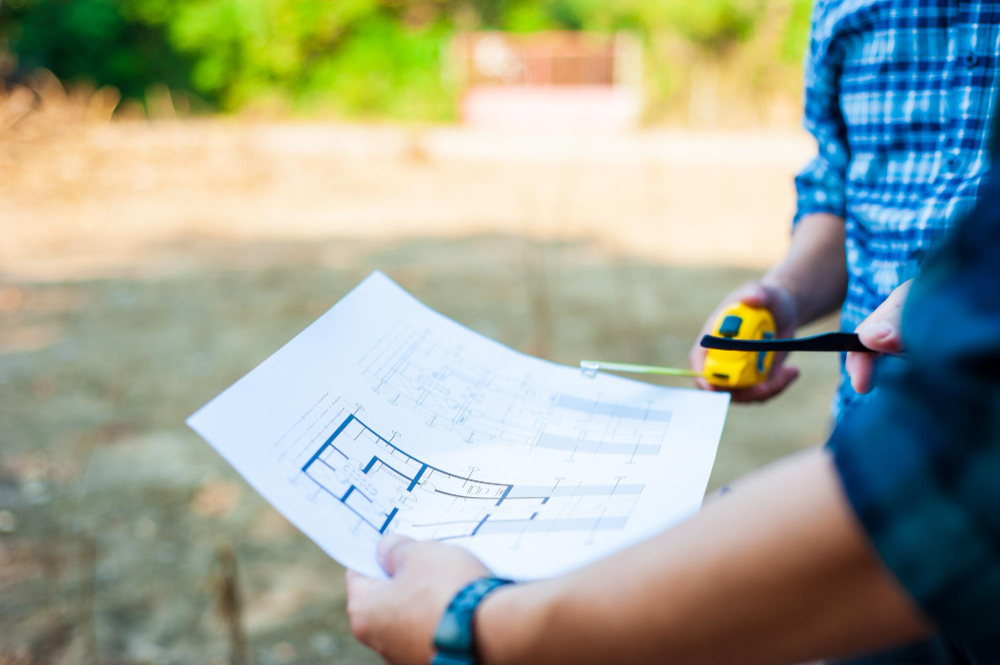
Topographical Surveys in Leeds Explained
A topographical survey is an accurate, scaled drawing of a site as it exists today. It records ground levels and contours, boundaries, buildings, walls and fences, trees with their spreads and heights, kerbs, road markings, drainage covers with invert levels, and any other features your design needs to respond to.
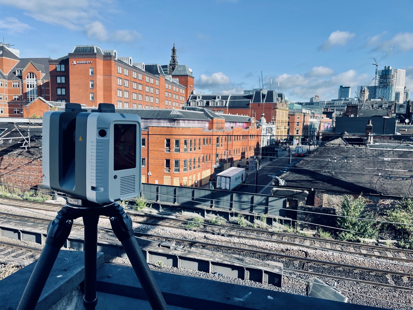
For topographical surveys in Leeds we use Leica GPS, robotic total stations and laser scanners, and process the data in N4CE and AutoCAD. Every survey is tied to Ordnance Survey grid and datum, and survey control is checked with closed-loop traverses – on larger traverses we work to a minimum closure of 1 in 20,000. Before anything is issued, a senior surveyor checks every drawing.
Drawings are supplied in 2D or 3D CAD, with ground models available for engineers working on levels, drainage and earthworks.
When You Need One
Most planning applications, house extensions, new-build schemes and highway works start with a topographical survey. It gives your architect or engineer a reliable base to design from and helps avoid surprises once work begins on site.
Across Leeds our surveys range from single residential plots in Headingley and Roundhay to large development sites around Morley, Garforth and the city centre. Further afield, we have surveyed a retail park in Birmingham (read the case study) and a public park that stayed open throughout the work (read the case study).
We also carry out topographical surveys in Bradford and Wakefield, and often combine them with a utility survey or boundary survey.
Testimonials

FAQs
Do I need a topographical survey for planning permission?
Many local planning authorities, including Leeds City Council, expect plans that show existing levels and site features, and architects usually need a topographical survey to prepare them. Your architect or planning consultant can confirm what your application requires.
What will the survey include?
Typically levels and contours, buildings, boundaries, trees, hard and soft landscaping, drainage covers and inverts, and street furniture. We agree the extent and level of detail with you beforehand so the survey matches your project.
What format will I receive?
AutoCAD drawings as standard, in 2D or 3D, tied to Ordnance Survey grid and datum. We can also supply PDFs, ground models and other formats on request.
How long does a topographical survey take?
Small residential sites can often be surveyed in a day, with drawings following shortly after. Larger or more complex sites take longer, and we will give you a programme with your quotation.
Contact Us For A Free Quotation
At CSL SURVEYS, we believe in providing a customised service to meet clients needs. Get in touch to discuss yours today.