3D Point Cloud Surveys Leeds
Our 3D point cloud surveys in Leeds capture buildings, structures and sites with high-accuracy laser scanning, processed into point clouds, CAD drawings and Revit models.
Definitive
Providing clear and reliable results is our mission.
Extensive
Using the latest surveying technology enables us to capture a high level of detail.
Accurate
All of our surveyors are committed to providing accurate information.
Quality
We pride ourselves on the presentation of our work.

3D Point Cloud Surveys in Leeds
A point cloud is a 3D record of a building or site made up of millions of precisely measured points. For 3D point cloud surveys in Leeds we capture it with Leica RTC360 laser scanners, which record the geometry and colour of everything in view, and register the scans together in Leica Cyclone to create a single, accurate model.
Because the scanner captures everything, the point cloud becomes a permanent record you can return to – measuring details later without another site visit. From it we can produce:
- Registered point clouds for your design software
- 2D floor plans, elevations and sections in AutoCAD
- Revit (BIM) models
- As-built records of structures and services
Where Laser Scanning Helps
Scanning is ideal for complex or historic buildings, busy plant rooms, structural steelwork and anywhere that would be slow or unsafe to measure by hand. In St Andrew’s Church, Keighley we scanned a historic church to create a 3D model for restoration work, and in Knottingley our scan data supported a detailed BIM model of an industrial steel structure.
In Leeds we scan everything from city-centre offices to schools, churches and industrial units, and we provide the same service in Bradford and Wakefield. If you need 2D drawings rather than a 3D model, see our measured building surveys.
Testimonials

FAQs
What scanner do you use?
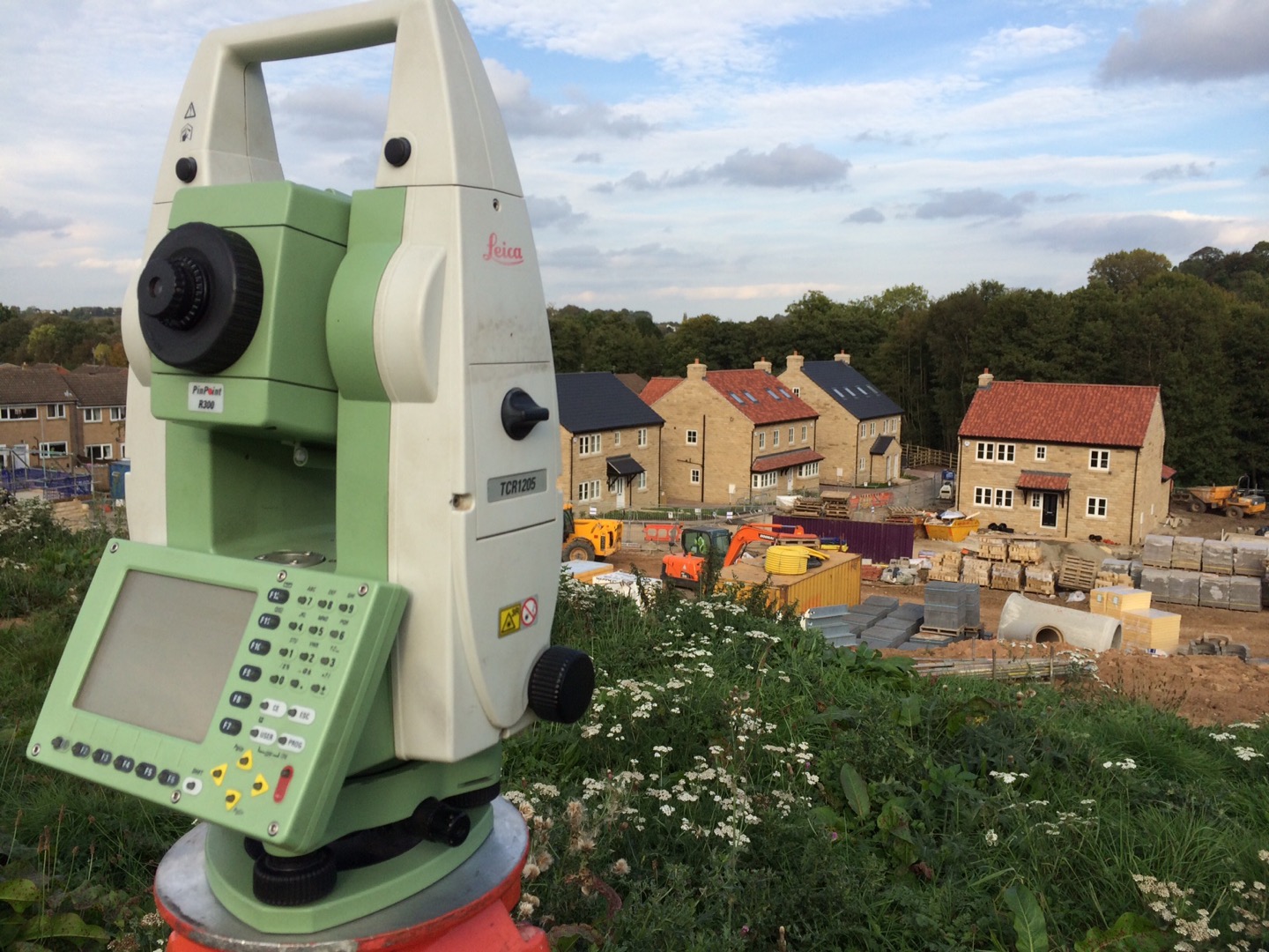
We use Leica RTC360 laser scanners, alongside Leica robotic total stations for survey control, and process the data in Leica Cyclone.
What file formats can you supply?
Registered point clouds in common formats such as E57 and RCP, plus AutoCAD drawings and Revit models. Tell us which software your team uses and we will supply data to suit.
Do I need a Revit model or just the point cloud?
It depends on your project. Many design teams work directly from the point cloud; others need a Revit model for BIM coordination. We can advise on the most cost-effective option.
Can you scan buildings that are in use?
Yes. Scanning is quick and non-contact, so we can work around occupants with minimal disruption.
Contact Us For A Free Quotation
At CSL SURVEYS, we believe in providing a customised service to meet clients needs. Get in touch to discuss yours today.