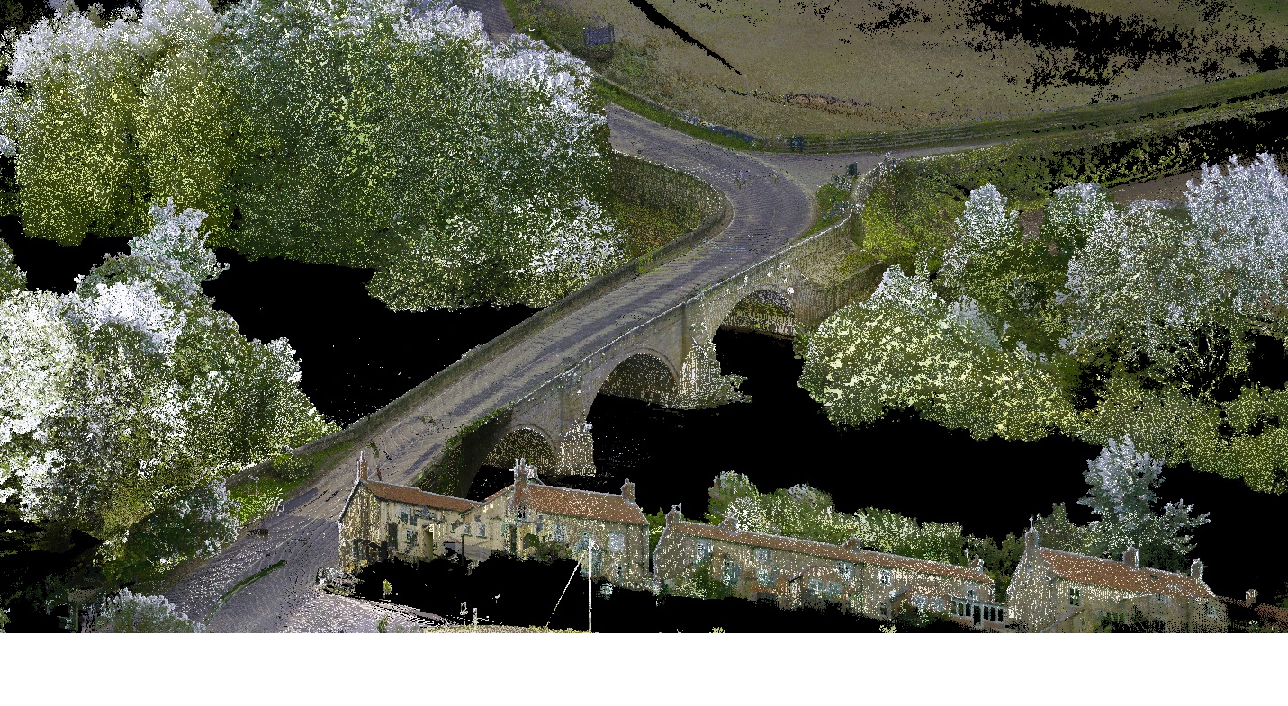
We were commissioned to deliver a detailed topographical survey and high-resolution point cloud data for a local bridge identified as requiring structural assessment. Using advanced surveying technology and precision workflows, we captured accurate spatial data to support engineers in evaluating the bridge’s condition. The resulting dataset provided a reliable foundation for planning essential maintenance and ensuring long-term safety.
Find out more about our topographical surveys, 3D point cloud surveys and structural surveys.