
Topographical Surveys Wakefield
We provide topographical surveys in Wakefield and the Five Towns for housing, commercial and infrastructure projects, delivered in 2D or 3D CAD.
Definitive
Providing clear and reliable results is our mission.
Extensive
Using the latest surveying technology enables us to capture a high level of detail.
Accurate
All of our surveyors are committed to providing accurate information.
Quality
We pride ourselves on the presentation of our work.
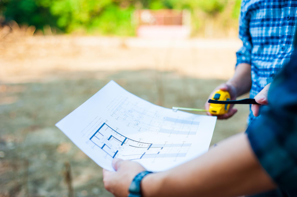
Topographical Surveys in Wakefield
From large greenfield housing allocations and logistics schemes near the M1 and M62 to infill plots in Ossett and Horbury, the Wakefield district has a steady pipeline of development – and every scheme starts with an accurate survey of existing levels and features.
For larger topographical surveys in Wakefield we combine Leica GPS with laser scanning to capture extensive areas quickly, producing ground models that engineers can use for earthworks, drainage and road design. On smaller urban plots we use robotic total stations to pick up the fine detail of buildings, boundaries and services.
We cover the whole district, including Wakefield, Pontefract, Castleford, Normanton, Featherstone, Knottingley and Hemsworth.
Planning and Design Ready
Our drawings are tied to Ordnance Survey grid and datum, checked by a senior surveyor and supplied in AutoCAD, ready for your architect or engineer. Ground features such as ditches, embankments, hedgerows and field drains – common on the edges of Wakefield’s towns – are recorded with the same care as buildings and roads.
Combine your survey with a utility survey in Wakefield to map services below ground, or with site engineering and setting out once construction begins. Our topographical survey guide explains what is included in more detail.
Testimonials

FAQs
Can you survey large greenfield and development sites?
Yes. We use GPS and laser scanning to capture large areas efficiently and can phase the survey to suit your design programme, with all phases tied to the same control.
Will the survey be suitable for a planning application?
Yes. Our surveys show the existing levels, buildings, boundaries and trees that architects and planning consultants need. Your planning consultant can confirm any specific requirements of Wakefield Council.
Can you provide a 3D ground model?
Yes. Alongside 2D drawings we can supply 3D CAD and ground models for engineers working on levels, drainage and earthworks.
Do you cover Pontefract and Castleford?
Yes. We work throughout the Wakefield district, including all of the Five Towns, from our base in Leeds.
Contact Us For A Free Quotation
At CSL SURVEYS, we believe in providing a customised service to meet clients needs. Get in touch to discuss yours today.